The 2023 hurricane season was the fourth-most active since 1950, with 20 named storms forming and tearing across the Atlantic Ocean. The ocean’s water ran far hotter than usual for much of the summer, smashing through previous temperature records and fueling the rapid development of several large cyclones.
Somehow, this year is looking even worse.
That’s in large part because the Atlantic never cooled down over the winter. Now, surface temperatures are surging yet again, shattering last year’s records and turning the ocean into a powder keg for tropical storms. Major forecasters predicted earlier this year that 2024 would be the most active hurricane season in recorded history, with as many as 25 named storms possible.
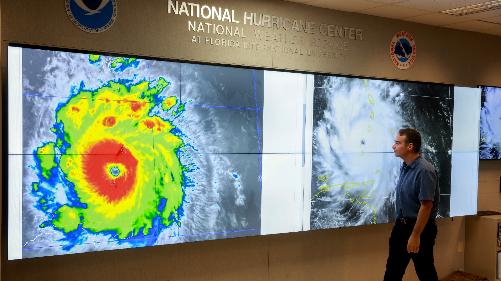
One sign that this forecast is well on its way to reality: Before the end of June, the season’s first major hurricane had already formed over the Atlantic. Over the weekend, Hurricane Beryl intensified to Category 4 strength in just a matter of hours as it rolled across the ultra-hot waters of the Caribbean Sea. The storm made landfall on Monday morning in Grenada with winds of almost 150 miles per hour. At the time of publication, the hurricane was poised to barrel toward Jamaica before lurching to Mexico later in the week.
Beryl set a number of records on its way to the islands of the Caribbean: it is the earliest storm to reach Category 4 intensity in recorded history, and the only one that has done so in the month of June. It is one of just seven hurricanes to develop to Category 4 intensity in less than 42 hours, and by far the earliest storm to do so. It is also the strongest storm in history to strike the Lesser Antilles, the archipelago of small islands east of Puerto Rico that are known colloquially as the “graveyard,” because hurricanes there often dissolve amid strong wind shear before they can do major damage.
“It’s very early for this level of a severe storm, and the pace at which it intensified is incredible,” said Jill Trepanier, a Louisiana State University professor who studies tropical storms.
Hurricane Beryl could never have formed where and when it did were it not for the unprecedented heat in the Atlantic Ocean. Surface temperatures heading into hurricane season were as much as 3 or 4 degrees Fahrenheit above average.
The scalding temperatures have flabbergasted meteorologists and climate scientists, who can’t yet explain why the ocean has stayed so hot for so long.
“We just don’t have a good answer,” said Brian McNoldy, a senior research associate at the University of Miami and an expert in hurricane and ocean climatology. “[The Atlantic] never really cooled off, and now it’s record-breaking again.”
To be sure, climate change is part of the equation: The world has warmed by about 1.5 degrees Celsius since preindustrial times, and the oceans have absorbed much of that increase, leading to hotter baseline temperatures all year round.
McNoldy also told Grist that a number of additional weather phenomena could be contributing to the recent spike, though none explain the scale of the anomaly. The El Niño weather phenomenon might have played a role in raising temperatures last year, and a weaker-than-usual high pressure system around Bermuda could be keeping them high this year. The baseline temperature of the Atlantic also oscillates up and down every few decades, as does solar activity that heats up the ocean.
But these and other possible ocean-warming events — like a 2020 international regulation that reduced sulfur emissions from shipping, which may have contributed to marginal ocean warming, or the 2022 Hunga Tonga volcanic eruption — are all insufficient to explain the remarkable variation from normal ocean temperatures that’s on display this year, according to McNoldy. Instead, as Elizabeth Kolbert wrote in the New Yorker in March, the surge could be evidence that “we may not understand how fast the climate is changing.”
Though last year’s ocean heat also led to forecasts of a very active hurricane season, the U.S. and Caribbean got unbelievably lucky. Almost all the storms that formed in the Atlantic spun out northward or fizzled out before reaching land. The monstrous Hurricane Lee just grazed the edge of eastern Canada, and the only major landfall in the U.S. was made by Hurricane Idalia, which struck the least-populated segment of Florida’s coast. This reprieve meant the U.S. avoided billions of dollars in damage, tens of thousands of destroyed homes, and a further death spiral in its beleaguered insurance markets.
If Hurricane Beryl is any indication, that luck will not repeat itself this year. The end of the most recent El Niño is creating an even more favorable environment for storms to form, according to John Cangialosi, a senior hurricane specialist at the National Hurricane Center who was tracking Beryl as it made landfall.
“You don’t often see the forecast all stacked on one side like this, but that’s the case this year,” he told Grist. “There’s nothing really mitigating it.”

